Online Parcel Mapping and Data

Wrangell On-line Parcel Mapping and Data
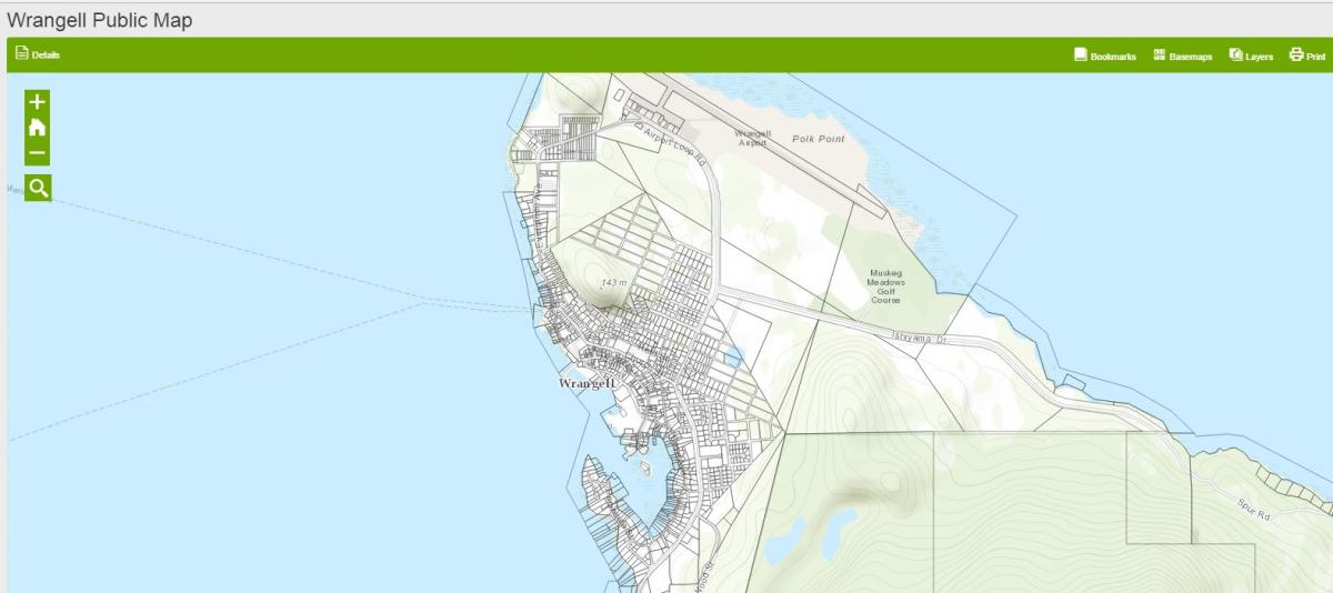
Searching for parcel information? Tax data? Need a print out of a parcel with an aerial photo? Wrangell’s GIS Mapping program with Parcel Data is now available to the public online. These maps were updated Spring of 2022 and reflect tax information 2022. They are typically updated every Spring after assessments are completed therefore ownership may change and not be reflected here.
Click this link to access the Wrangell Community Map.
The link above allows you to explore and look up parcel information.
If you need to print any of the parcel information, you will need to go to the Open Data Site, a click through link is available on the Community Map site.
The online mapping may be difficult or confusing to navigate through at first, so please be sure and read the instructions for both sites, available for download below.
If you have questions, please contact Kate Thomas at City Hall, 874-2381 or kthomas@wrangell.com
